 Eucalyptus racemosa and Lambertia formosa ( © ianbrownphotography.com )
Local Environment Plans - 1958-2015
– Introduction
– EMP 1 / LEP 91 Process
– Community Coalitions
– LEP 91 Amendments
– EMP 2 / LEP 2005 Process
– LEP 2015 Process
– Acknowledgements
Introduction
There are gaps in this story and additions are very welcome – please contact lyndal.sullivan@gmail.com or the webmaster.
This is the story of a long and sustained endeavour by the Blue Mountains Conservation Society to conserve the Blue Mountains by pressing for legal protections in the planning documents known as Local Environment Plans, extending over at least 43 years to 2016. Since that time the LEP has been consistently under challenge by successive NSW government interventions, and the Society continues to monitor and attempt to defend the safeguards.
It demonstrates the importance of scientists, planners, managers and ordinary people all contributing their skills and passions.
The impetus for many of the legal protections came from the community working primarily through the Blue Mountains Conservation Society, whose members individually and collectively provided historic information, made submissions and never gave up. Many dedicated planners within the Blue Mountains City Council developed ideas and enabled the protections to be enacted.
Note that the history of the Society started with Katoomba & District Wildlife Conservation Society (KDWS) in 1961, the Lower Blue Mountains Conservation Society (LBMCS) in 1966 and the Upper Blue Mountains Conservation Society (UBMCS) in 1983. In 1996 the Upper Blue Mountains Conservation Society merged with the Lower Blue Mountains Conservation Society to become the Blue Mountains Conservation Society (BMCS).
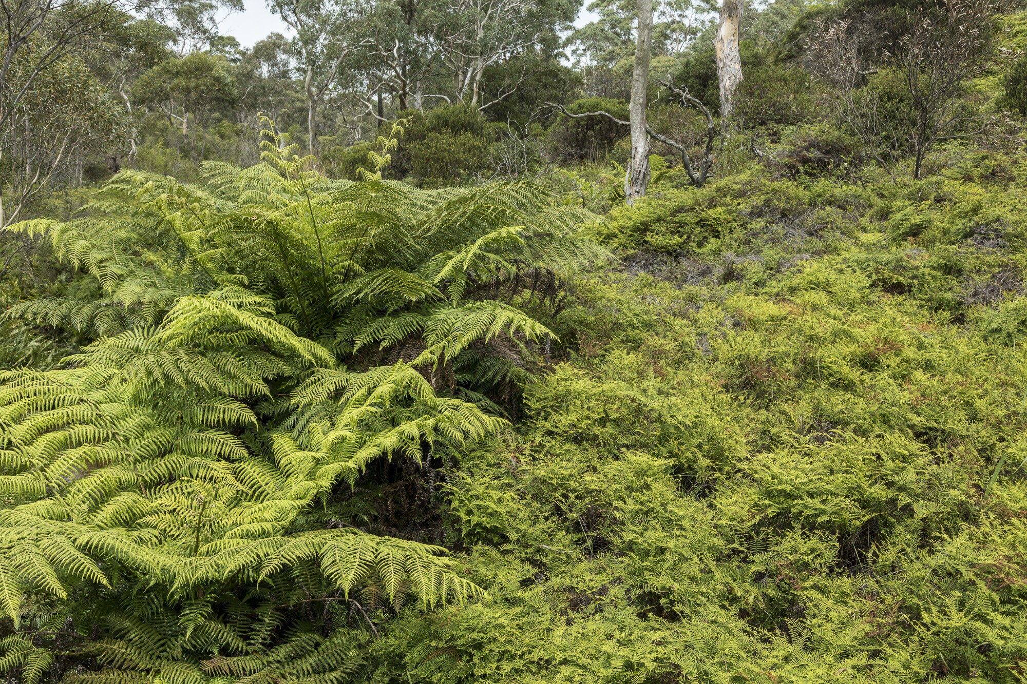 Blue Mountains swamp Darwins Walk
(© ianbrownphotography.com)
Timeline
- 1958 - Blue Mountains City Council (BMCC) resolved to prepare a planning Scheme for the City.
- 1961 - Draft Interim Scheme implemented.
- 1967 - Draft Planning Scheme
- This was submitted to the State Planning Authority for approval. 18 April 1969 - Interim Development Order No 1 – City of Blue Mountains comes into effect.
- 1973 - Draft Blue Mountains Planning Scheme
- This was exhibited after having been certified by the Minister. This Planning Scheme allowed for a population of 170,000. The population was then 38,000. Over 3,700 submissions were received most regarding conservation issues. Both KDWS and LBMCS were actively involved in generating responses.
Katoomba & District Wildlife Conservation Society protested and raised the question "what population can the Blue Mountains support?" In response to this, the Commonwealth Government gave Council a grant to employ consultant planners to draw up a Blue Mountains Strategy Plan. - 1974/75 - Community Consultation for Blue Mountains Structure Plan
- The 1974 Alternative Futures Report was produced which developed 5 "alternative futures". Each had a different population capacity with alternative 1 at a capacity of 47,000 increasing to alternative 5 with a capacity of 275,000. The environmental impacts on each of these levels were assessed for factors including: visual impacts, waste disposal, local open space, usage pressures on existing wilderness areas, pollution of creeks, pressures to sacrifice National Park to bushfire prevention of urban areas etc. It recognised the threat of ribbon development along the Great Western Highway. Responses from the community strongly favoured the more conservation oriented strategies.
- 1975 - Blue Mountains Structure Plan
- BMCC commissioned a study to “present ecological information which is critical for future development within the Blue Mountains City Management Area”. This report states “It is the purpose of this study to give planners a framework for controlled development and to identify minimum areas for preservation and conservation”. the stated objectives for this study (page 3) were:
- Protect important natural areas and their wildlife
- Protect water catchments
- Protect prime agricultural land
- Identify areas where existing landuse conflicts with land capability
- Provide recreation areas
- Identify the most suitable areas for controlled development
- 1976 - BMCC Aims and Objectives document
- This stated that it could not resolve any specific population figure as neither the NSW nor Federal governments would guarantee funding to enable implementation of any of the alternatives.
Due to this overwhelming public response and legal difficulties, BMCC decided to prepare Interim Development Order No. 28 (I.D.O. 28). which was effectively the same as the draft Planning Scheme. The population issue was the most publicly contentious issue. - 1979 - NSW Environmental Planning & Assessment Act gazetted
- The Act outlined requirements for all NSW LEPs, but did not give any environmental protections, and specifically allowed for consideration of environmental and community issues. It gave legal appeal rights to the community as 3rd parties.
- Jan 18 1980 - Interim Development Order No 28 – City of Blue Mountains gazetted
- (The 1973 Draft Planning Scheme) Major shortcomings of IDO were that it failed to recognise large areas of significant conservation or scenic value, and allowed for a population of 171,000.
- Dec 3 1982 - Blue Mountains Local Environmental Plan No. 4 (LEP4) gazetted
- LEP 4 replaced IDO 28 but was essentially the same. This population level and subsequent impacts was the same as that of the 1973 Plan and also the alternative 4 in the Strategy Plan, which only attracted support from 11% of responders.
Within only one year it was clear it would not adequately deal with the pressures of urban expansion and that it did not offer appropriate environmental protection. LEP 4 did not reflect the expressed community feeling during the consultation in its lead up and was clearly hijacked. - 1983 - Katoomba and District Wildlife Conservation Society became the Upper Blue Mountains Conservation Society (UBMCS).
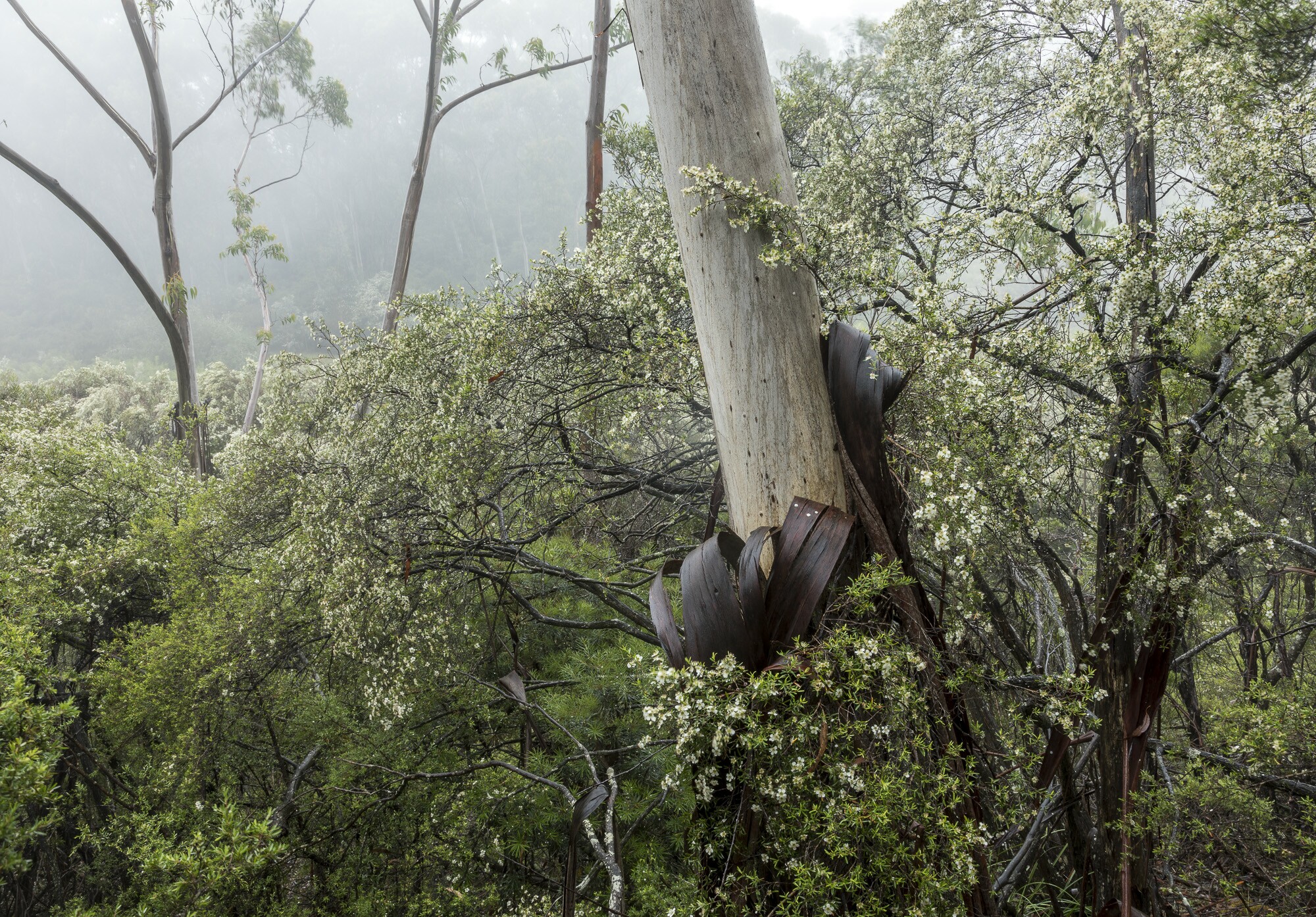 Eucalyptus oreades swamp with Leptospermum
(© ianbrownphotography.com)
EMP 1 / LEP 91 Process
- 1983 - Blue Mountains Environmental Management Plan (EMP) resolution
- Council resolved to prepare EMP to assess the interaction between the natural and built environment and the suitability of land for development. UBMCS and LBMCS were both on the steering committee to guide the EMP process.
During the EMP 1 process a number of studies were commenced including: Population Study, the Community Plan, Heritage Study. These all sought community responses and informed both EMP 1 and EMP2 processes. The Blue Mountains Housing Needs research Report 1993 identified unmet housing needs (p16) and formed part of the 1996 Residential Development Strategy. - 1984 - Population limit campaign
- Upper Blue Mountains Conservation Society called for a population ceiling in order to protect the surrounding National Parks. National Parks Journal (July 1984, vol 28, no 4) article Blue Penlith by Shirley Suggate-Jones Vice President cites previous studies and reports on the limitations and projections, and consultations.
- 1985 - EMP Principles, Aims & Objectives adopted by BMCC
- These were to guide the Environmental Management Plan 1 and its Area Planning Reports (Environmental Study for each of 5 areas see p4).
Work was undertaken by the Royal Botanic Garden, particularly Doug Benson and David Keith, helped further conservation in the Blue Mountains eg. Keith, D.A. and Benson, D.H. 1985. Explanatory notes for the Katoomba 1:100 000 map sheet. Royal Botanic Gardens, Sydney. - 1985-1988 - Local studies
- Detailed local studies completed for Winmalee, Wentworth Falls, Kings Tablelands, and Shipley Plateau.
- 1988 - Mapping of Sensitive Vegetation Communities
- Drs Peter and Judy Smith were commissioned by BMCC to map areas of “important and sensitive” vegetation within the City of Blue Mountains, from colour air photos. Megalong Valley and the Mounts had been mapped previously.
The brief was to map five vegetation types with a restricted distribution in the Blue Mountains: rainforest, heath, swamp, Blue Gum forest and alluvial bench woodland. This covered urban and rural areas, and about half of the mapped sites also field checked. Mike Eades BMCC environmental planner, was the driving force behind the study, and a trail blazer in promoting the identification and conservation of significant vegetation types/habitats.
It was recognised that there were other significant vegetation types/habitats eg some eucalypt communities but not mapped due to a general lack of knowledge of the vegetation in the Blue Mountains.
Ref: Smith, J and Smith, P. August 1988. Significant vegetation types within the City of Blue Mountains. Report prepared for Blue Mountains City Council. P & J. Smith Ecological Consultants, Blaxland.
Blue Mountains City Council. 1989. Blue Mountains Environmental Management Plan Environmental Study Stage 1: Rural & Environmentally Sensitive Areas. Map Addendum.
Slope constraints (>33%) mapping was done by Council. - March 1 1988 - Council resolved to split the EMP plan into two
- Priority was to be given to the fringe urban and rural areas, as the development of one plan for the whole LGA within a reasonable time frame was recognised as an impossible task. These outer bushland areas were under most pressure from development.
- April–August 1989 - Public exhibition of draft LEP
- This merit based approach plan relied on the aims and objectives and had no development standards. It proposed allowing residential development in rural residential zones where no sewer services were available and proposed the removal of the Escarpment Protection Zone from the eastern escarpment. It assumed a population ceiling of 100,000.
May-June 1989 UBMCS mobilised members to undertake field inspections of currently undeveloped private land from the upper mountains down to Linden. Members assessed the accuracy of the draft maps, for sensitive environmental areas or features, as well as the adequacy of the plan to protect these and current problems.
The UBMCS submission on draft LEP 91 raised the following major issues:- weakness of merit based planning to conserve natural environment (prevent urban sprawl, overclearing etc )
- lack of enforceability of controls
- failure to protect escarpment
- catchment management & sewerage pollution not addressed
- reduction of hard surfaces not addressed
- no soil erosion or weed control
- fire risk
August 1989 - UBMCS held a Workshop on EMP 1 for members to discuss the issues and process, including: effluent management, merit based planning, development consent criteria, land between towns and zones - November-December 1989 - Commission of Inquiry on draft LEP (EMP stage 1)
- Council received over 500 written submissions to the draft LEP, of which 210 made submissions to the public hearing. UBMCS, LBMCS, Blue Mountains Environment Council and CORE and all made significant submissions, as did umbrella organisations such as Australian Conservation Foundation and Colong Foundation.
- February 1990 - Commission of Inquiry into Draft LEP Report released
- Commissioner David Simpson recommended the following, with frequent citing of environment group submissions:
- a finite population level, with rationale
- a tourism strategy
- better controls to protect escarpment areas
- more specific controls to ensure separation of towns
- watercourse protection measures including minimum buffers
- total water catchment management controls
- stronger development standards and zoning controls on unsewered land
- lower residential densities permitted in high bushfire risk areas
- protection of an expanded number of significant vegetation communities
- cumulative impact of clearing for bushfire hazard reduction to be addressed
- development consent criteria to extend to all zones, and backed up by quantitative standards in DCP
During the EMP 1 process a number of studies were commenced including: Population Study, the Community Plan, Heritage Study. These each sought community responses and informed both EMP 1 and EMP2 processes. The Blue Mountains Housing Needs research Report 1993 identified unmet housing needs (p16) and formed part of the 1996 Residential Development Strategy. - August 1990 - Community Protests
- Environment groups became aware of closed “workshops” for aldermen held to amend the draft LEP, and that the majority of these ran counter to the recommendations made by Commissioner Simpson and the town planner’s report.
11th August CORE organised a community protest meeting, with over 150 people attending. Issues were: secrecy over changes to EMP, and changes and delays which facilitated 3 large proposed developments (Bodington Hill, Radiata Plateau and Sorenson’s Nursery sites). Speakers included representatives from local and state environmental groups and dissenting aldermen. - August 14 1990 - BMCC endorsed a revised LEP for public exhibition
- Major issues attracting objections were zoning changes to allow development on large sites including Megalong Valley, Lawson Golf Course, Radiata Plateau, Bodington Hill. Other issues included:
- Weakening the provisions to retain bushland between towns
- Removal of environmental protection zone (7(e) ) to allow for residential development
- Removal of “No Subdivision” requirement/ layer on many Bushland Conservation zoned lots to allow for subdivision
- November 1990 - BMCC meeting adopted LEP 91
- CORE and LBMCS made strong representations against the secrecy surrounding the changes, the loss of good planning principles, the promotion of ribbon development with the loss of the concept of bushland between towns.
- September 14 1991 - Council elections
- Only 2 of the pro-development so-called “gang of seven” were returned and 5 pro-environment candidates elected, with Labor holding the balance of power. The new council recalled the draft LEP from the Department of Planning to review those sections which were in conflict with the Commissioner’s recommendations and/or with Sydney Water’s objections to releasing an additional 700 unsewered lots for development.
Some amendments were made by the new council to bring the LEP back in line with the Commissioner’s recommendations, but not all, and the Department only accepted some of these changes. - December 27 1991 - Blue Mountains Local Environmental Plan 1991 No. 683 comes into effect
Community Coalitions
- October 1995 - Environment Summit
- This summit organised by the local member, Bob Debus’ office, brought together a wide range of the concerned community members with experts. It highlighted the planning issues which needed urgent attention.
- 1996 - Blue Mountains Conservation Society (BMCS) was formed by the amalgamation of the Lower and Upper BM Conservation Societies
- September 1996 - Blue Mountains Resident Network (BMRN) formed
- BMRN was an alliance of 9 different groups across the mountains: Blue Mountains Conservation Society(BMCS), Coalition of Residents for the Environment (CORE), Residents Against Improper Development (RAID), Springwood and Winmalee Action Group (SWAG), Minnehaha Landcare Group(MLG), Friends of Katoomba Creek Valley (FKCV), Friends of Lawson Action Group(FLAG), Faulconbridge Residents Association, and the Blue Mountains Bushcare Network.
BMRN developed a common platform on:- A more open council
- Implementing the solid principles of the EMP into the new LEP
- Strengthening the environmental controls in LEP 91
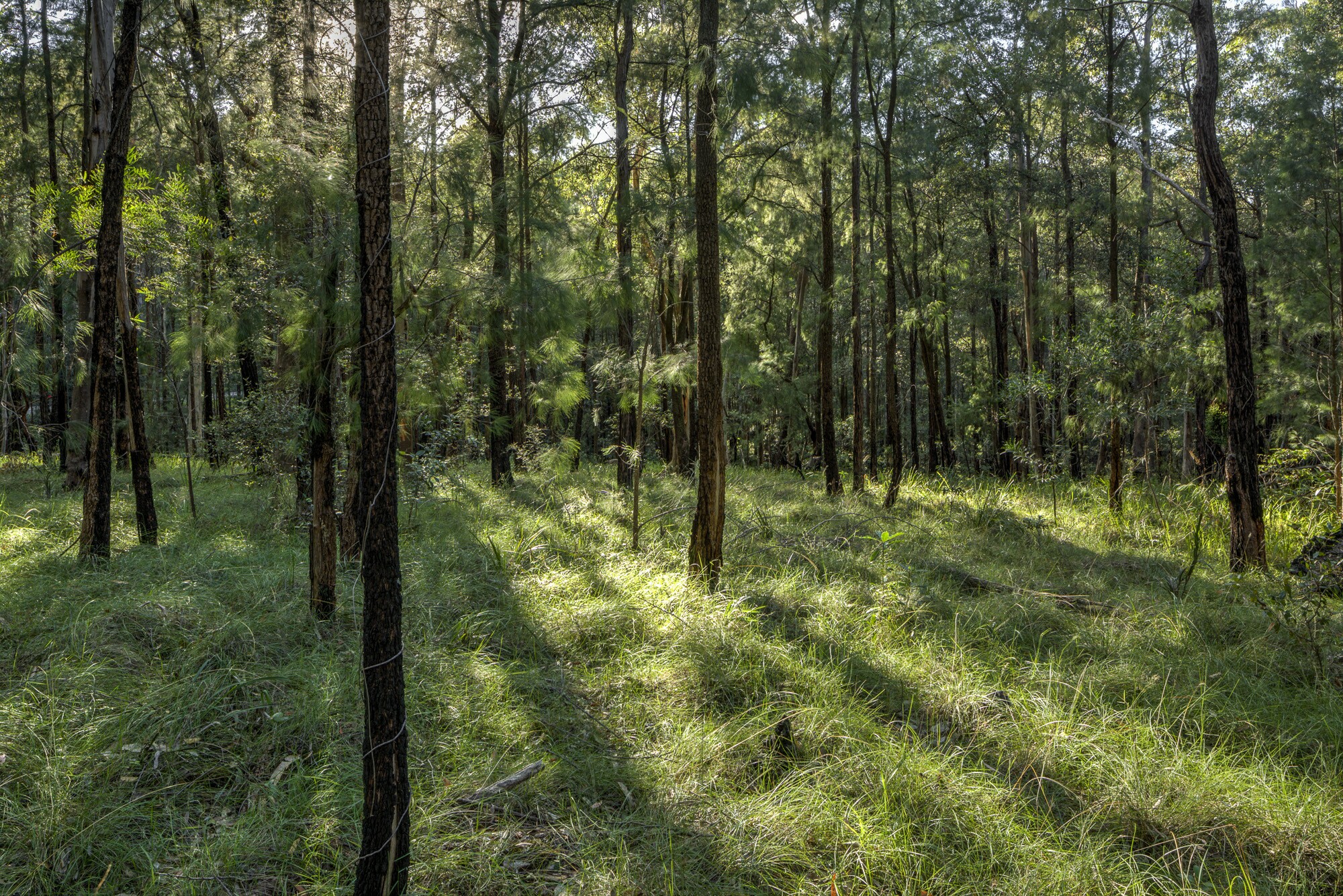 Allocasuarina torulosa
(© ianbrownphotography.com)
LEP 91 Amendments
- 1994-96 - Amendments 18 & 20
- The Society unsuccessfully opposed these amendments which allowed for more land clearing in subdivisions of lots greater than 4000 sq m. Subdivisions were excluded from a clause which limited the size of a development areas.
- 1994-2001 - Amendment 25
- In October 1994 BMCC resolved to review the Residential Bushland Conservation Zone. This zone covered large lots on the urban fringe where the greatest pressure was for development. It allowed for subdivisions of 8 dwellings per hectare. The review was in response to calls from each of the member groups of the Blue Mountains Resident Network (BMRN).
The major focus of the draft amendment was on giving greater legal certainty (and protection) in the assessment of subdivision applications by a concept of “development excluded land” which included a range of sensitive lands and watercourses. These areas were excluded from development and unable to be included in the calculations for subdivision yield. Steep slopes, buffers to watercourses and significant vegetation were covered by this exclusion.
March 2001 Amendment 25 comes into force after 2 rounds of exhibition and a legal challenge. During this time pressures for spot re-zoning continued. A campaign for a moratorium on spot rezonings was coordinated by BMRN from December 1996. - 1999-2006 - Amendments 30 & 31
- Changes to the scale of tourist developments in Bushland and Rural Conservation zones were introduced (Amendment 30). A significant expansion and clarification of the significant vegetation types covered by the Schedule was an important advance for environmental protection, based on the work of Drs Peter & Judy Smith and supported by the Society. Amendment 31 was finally gazetted in December 2006.
- 2004 - Review of LEP 91
- BMCS called for a review of the whole of LEP 91. BMCC outlined a program for this review (BMCC business paper 20/07/04).
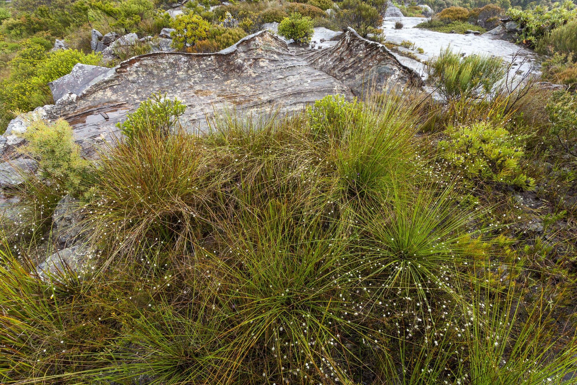 Blue Mountains Heath and Scrub
(© ianbrownphotography.com)
EMP 2 / LEP 2005 Process
- 1994 - Blue Mountains Environmental Management Plan – Stage 2 (EMP2)
- Work commenced on EMP 2 to cover the Sandstone Plateau and urban areas.
Flora, Fauna & Vegetation Mapping Drs Peter & Judy Smith were commissioned by BMCC to carry out a flora and fauna study (published April 1995) of the urban areas for EMP Stage 2. Vegetation was mapped from colour aerial photos (better quality than in 1988) and extensive field checking. In each of the 5 study areas species lists were produced and two sets of maps: all native vegetation types and separate maps of significant flora and fauna habitats together with buffer zones.
With the increased information available (since 1988 mapping for EMP 1), they were able to determine which units were significant, and include buffer zone mapping.
Slope mapping was undertaken by Council
April to August 1994 - The community was invited to suggest what issues should be addressed in a revised LEP through a series of public meetings and written submissions. Detailed local area information was also called for. Community groups and individuals made detailed submissions on each of the 5 study areas.
October 1994 - Council adopted an approach to the LEP which was mid way between a “prescriptive” plan and an “objectives based“ or merit assessment style of plan with specific development standards (BMCC meeting 11/10/94). - 1995 - EMP2 exhibition of studies
- Management Studies were developed and released for public comment during the period on: Recreation, Population, Heritage, Culture, Tourism, Residential Development, & Community.
April 95 - Flora & Fauna Studies published by BMCC for each study area (work of Drs Peter & Judy Smith)
May-June 1995 - Draft Planning Reports (for each of 5 planning areas) on exhibition, community submissions made and public meetings held. Mapping identified areas of fire threat, steep slopes, significant habitats, watercourses and their buffers. Also area where reticulated sewerage was not available. Public meetings held.
August 1995 - Draft Planning Strategy and Proposed Zonings went on exhibition, together with constraint mapping of: fire threat, slope, significant flora & fauna habitat & buffers, watercourses/drainage lines and buffers.
Public meetings were held by council which aired community objections. Many environment groups including BMCS and Minnehaha Landcare Group raised objections that:- The zonings did not limit development on constrained land
- There was a need for more prescriptive approach, viz:
o Protections should be in LEP not DCP (due to minimal legal weight)
o Constraints should be mapped in legal document
o zones were too vague - RBC, BC & Liv Conserv
- September–October 1996 - Attempts to Abandon LEP process
- Notice of Motion was put by Councillor Williams to discontinue the EMP 2 process with the support of pro-development councillors The motion was defeated and a decision made to exhibit draft LEP by October 1997. By September community dissatisfaction at the delay in exhibiting a draft LEP was building BMRN member groups including BMCS lobbied council on the apparent stalling of the draft LEP, and this attempt to derail it. They requested that Council exhibit it as soon as possible and provide information to the community on the progress of the process and estimated date of exhibition.
Local state member Bob Debus was called on to assist ensure the process continued (December 96/Jan 97). - November 1996 - Residential Development Strategy exhibited
- December 1996 - Campaign for moratorium on spot rezoning coordinated by BMRN
- Jan-Jun 1997 - Closed Councillor briefing sessions
- No business papers or minutes produced from these workshops. Concern that Councillors were influencing the zones and hence jeopardizing the impartiality of the process.
- October 1997-Jan 9 1998 - Draft LEP 97 (DLEP 97) exhibited
- The Society engaged in a community awareness campaign through street stalls, media, visits to Bushcare and other groups. Over 1000 submissions from the community. Approx 90% objecting.
The main concern of BMCS and BMRN were to protect the environment from future development and supported the inclusion of the Sustainable Development Threshold. Whilst some specific sites would be protected by an Environmental Protection zone or a designation as an Environmental Constraint Area, there were serious broad objections:- It failed to protect creeklines, steep slopes and significant vegetation
- It was not a prescriptive plan with clear rules, leaving much open to matters of opinion ie ‘merit’ assessments
- It did not allow for split zones, ie splitting properties into 2 zones so that part could be protected whilst other parts developed
- December 1997 - Minimum protective buffer widths established
- A report by Judy Smith & Peter Smith published “Buffer Zones for Protection of Sensitive Vegetation Units in the City of the Blue Mountains” which established the minimum buffer widths required. This was primarily funded by BMCS with support from other members of BMRN. This became the basis of the buffer widths Council adopted in DLEP 2002 and LEP 2005. (EMP 2 Planning Study 2002 Vol 1 p9).
The study recommendations included:- Factors to be considered in determining buffer widths
- Expanding the Schedule of significant vegetation communities in LEP 1991 and mapping these as environmental constraint areas for LEP 1991
- Surveying the LEP 91 area for any additional vegetation communities occur that warrant recognition
- The LEP 1991 environmental constraints mapping should be made consistent with the LEP 1997 by inclusion of buffer zones
- December 1997 - Development Control Plans on exhibition
- Energy Efficiency of buildings and weed management were major concerns taken up by BMCS. . Two of the draft DCPs even advocated the planting of known environmental weeds – Arbutus unedo, Prunus laurocerasus, Pinus radiata, Populus sp., Salix, Agapanthus, Cotoneaster and even one listed noxious weed – Ligustrum sinense.
- December 1997/Jan 1998 - Opposition to Environmental safeguards
- Councillor Ralph Williams and architect Gerry Bridgland generated a campaign urging residents to take action to protect their development rights.
In response to community agitation, Council asked for a Commission of Inquiry to assess the wide range of concerns raised. The Dec 1997 meeting Blue Mountains Resident Network developed a strategy for responding to the Commission of Inquiry to ensure each agreed issue was adequately covered and suitable experts found.
The Health & Development Group of BMCC in its submission (sub # 1.B.1 p7 H&D Group BMCC) in objecting to the application of ‘building space’ requirements, claimed that ‘the majority of areas affected by the draft LEP are less constrained and largely in established areas. … (therefore) .. should be considered on a merit basis”. This assumption underlay many of its objections to any development standards. - February 1998 - Carlton appointed Commissioner for an Inquiry into Draft LEP 1997
- March 1998 - Sensitive Vegetation Units Report
- Drs Judy Smith & Peter Smith published “Sensitive Vegetation Units in the City of the Blue Mountains” which proposed comprehensive descriptions of 18 Sensitive /Scheduled vegetation units included in the DLEP 97, but not adequately described. This report was commissioned by BMCS with funding support from other members of BMRN. This report contributed Schedule in the subsequent DLEP 2002 (ref EMP 2002 Planning Study Vol 1 Planning Framework p18).
Such descriptions were needed to allow identification of communities in the field which had not been mapped or not mapped accurately. The discrepancy noted between the significant vegetation/flora and fauna habitat units identified in LEP 1991 and LEP 1997 was subsequently rectified by Amendment 31 gazetted in 2006. - Blue Mountains Legal Centre organised a workshop for community members to explain the process of making an LEP and issues arising (March 1998). Specific legal advice was sought from the Environmental Defenders Office by BMCS to ensure that environmental safeguards in the LEP would be legally binding.
- June/July 1998 - Commission of Inquiry hearings
- The inquiry attracted a record number of written submissions (311) for a NSW Commission of Inquiry. Of these 126 also made oral submissions, and/or site visits (in the snow!).
BMRN coordinated the approach of member groups and allies including Colong Foundation and Total Environment Centre to ensure all critical issues were thoroughly covered without unnecessary duplication and supported by expert witnesses.
In addition to specific land zones, the major issues addressed were either the inadequacies of the plan or to address issues raised by others:- Legal framework – more prescriptive approach with clear development criteria needed, less reliance on DCPs which have minimal legal weight, obligations to limit development using mechanisms such as the Sustainable Development Threshhold
- Extend constraints on development to include: slopes greater than 20% (not 33%), buffers to creeklines and sensitive vegetation, fire prone areas, and areas where reticulated sewer was unavailable
- The lack of a Vegetation or Bushland Protection Order
- Jan 1999 - Commissioner’s report released
- The recommendations which supported many BMCS/BMRN proposals included:
- A system of watercourse buffers to be developed, mapped and introduced in the urban areas, to exclude development
- The introduction of 3 new Protected Areas: watercourse buffers, slopes greater than 20% and areas of high to extreme bushfire threat
- stormwater management be addressed more adequately particularly for medium density developments
- Review of Employment and recreation areas to ensure environmentally sensitive areas are zoned EP or at least given Protected Area status
- Introduce additional objectives to protect the natural environment
- Apply split zones to properties to allow the application of Environmental Protection zone
- Determine a population threshold based on land capacity
- March 1999 - Review of the DLEP 97 commenced
- Council invested significant resources in mapping, ground truthing, data collection and analysis to implement the Inquiry findings (released in Jan 1999). BMCC engaged Ecological Surveys and Planning (ESP) (Steve Douglas) to map vegetation in all lands in the LGA outside national park. This mapping used mainly infrared (rather than colour) aerial photographs and was published in 2001.
Reference: Ecological Surveys and Planning (2001). Native vegetation mapping of Areas 1 to 5 in Blue Mountains City local government area 2001. Ecological Surveys and Planning Pty Ltd, Hornsby
The greater mapping accuracy allowed for a place based approach, and for split zonings which had been proposed by BMCS to the Inquiry.
Community pressure continued to maintain focus on issues such as creekline buffers (e.g. BMGazette 17.03.1999)
During 1999 BMCS continued to clarify and refine its understanding of the requirements for an LEP to stand up against legal challenges from developers threatening to damage the environment. The EDO and the August 1999 NCC Conference were instrumental in influencing the BMCS position on how to remove discretionary assessment from development criteria. Two options were:
(a) clear prohibitions in zones (consent dependent on jurisdictional fact), or
(b) a situation to exist before consent can be given (development consent dependent on conditional precedence). - August 1999 - Exempt & Complying Development DCP 33
- Following a weakening of the NSW planning legislation, Council was required to allow small developments to be exempt of any assessment and others to be approved by private certifiers (complying) with no requirements for notifying neighbours. BMCS successfully lobbied for changes to keep developments out of most sensitive lands. The cumulative impact of these “small/medium “developments was still a problem.
- May 2000 - Council held DLEP Reference Group Consultations
- BMCS represented at workshops. Most major BMCS “asks “ had been met except there was no adequate mechanisms to deal with cumulative impacts, or impacts on the national park and no clear ESD objective. Whilst limits on growth on unsuitable land had been placed, infrastructure needs were not adequately addressed.
The Riparian Corridor Buffer Model presented, was an important contribution to watercourse protection. This mathematical model calculated buffer widths using soil type and erodibility, slope, climate and vegetation factors. (EMP 2 Planning Study Vol 1 2002 p15) . - September 2000 - Revised DLEP2000 endorsed in line with the Inquiry recommendations.
- Changes brought it further in line with the Inquiry recommendations.
- November 2000 - listing of Greater Blue Mountains World Heritage Area
- Some refinements to the LEP were made to respond to the World Heritage listing.
- 2001 - Mapping of Vegetation Communities, Slopes, Watercourses
- BMCC used aerial laser scanning to provide detailed mapping information. In 2002 a report was produced which identified the 125 Vegetation Communities and subcommunities listed in the DLEP Schedule.
- October 2002-Jan 2003 - Exhibition of DLEP 2002
- 1603 community submissions were received covering 6,500 different matters. Strong community support was received with over 80% submissions giving unqualified support (60%) or support with minor changes (27%).
Preferential food outlets’ (eg MacDonalds), site cover and accessible housing were major issues. Another was the conflict between NSW bushfire legislation and protection of sensitive areas and the World Heritage National Park.
BMCS undertook a campaign to inform the community and encourage submissions, investing funds ($10,000) and time (approximately 700 volunteer hours). It ran street stalls, met with bushcare groups and other community organisations. This contributed significantly towards the 80% of submissions supporting the LEP and/or proposing minor amendments.
Form letters and local area information guides were produced to support positive environmental protections and suggest additional ones. The Society’s own submission alone contained 65 pages of detailed information, resulting from over 500 hours of direct effort by members. - 2002 - Better Living Development Control Plan exhibited
- A detailed submission by BMCS focussed on remedies to many loopholes and inconsistent standards across development types. For example keeping Asset Protection Zones out of sensitive vegetation and creeklines, energy efficiency and groundwater protection.
- 2003 - Amendments to DLEP 2002
- BMCS continued to be actively involved in discussions with Council officers and councillors as critical environmental protections came before the council.
Creekline protection – A proposed amendment to give all creeklines a minimum 20 m default buffer was rejected when Council voted on 22/7/2003 (7-4) against the staff recommendation. However in March 2004, Council voted to strengthen clauses in the DCP around creekline buffers.
Another significant amendment lobbied for, was one to exclude creekline buffers and land zoned for environmental protection from areas able to be cleared for bushfire protection ( APZs) – but rejected.
August 2003 - Bushland Protection Order - An expansion of the Tree Protection Order was developed and became part of DLEP 2002. Community members attended public meetings and made 115 submissions before an amended BPO was adopted in August 26 2003.
October 2003 - BMCC endorses most of the DLEP 2002 changes - November 2003 - Amended DLEP 2002 was exhibited
- Some major amendments were proposed following the review of submissions Final council meeting adopted some surprise amendments which were detrimental to the environment, such as removing the EP zoning from some parcels of private land in North Leura (totally surrounded by EP zoned land).
- December 2003 - Amended DLEP 2002 sent to the state government to review/gazette
- Jan/Feb 2004 - Better Living Development Control Plan re-exhibited
- February-Aug 2004 - Exempt & Complying Development (Better Living DCP Part H)
- Better Living DCP Part H)
Additional developments classified as ‘exempt’ or ‘complying’ were proposed for blanket self-approval without any public consultation. BMCS representations to ensure all environmentally sensitive areas were excluded, met with some success. - October 7 2005 - Gazettal LEP 2005 (11 years since 1994)
- After 2 years of assessment by the NSW Dept of Infrastructure, Planning and Natural Resources, and community lobbying, the LEP was finally gazetted.
LEP 2005 significantly increased the environmental protection for creeks, escarpment areas, steeply sloping land, heaths and swamps and other sensitive vegetation communities. It introduced protection for bushland across the mountains under a Bushland Protection Order.
This LEP was based on a ‘place based’ planning model, winning several awards as one of the most advanced LEPs at the time.
These aspects of the LEP were only won after the Society and other local environment groups presented a convincing case over 10 years of non-relenting effort. Also years of tireless effort from dedicated planners, environmental scientists and other specialists and councillors was necessary to implement these ideas.
 Angophora costata and Doodia aspera
(© ianbrownphotography.com)
LEP 2015 Process
Late 2005 - NSW introduced a “standard template” for all LEPs- This was in spite of the recognition by the planning profession that detailed and precise plans, using a ‘place based’ approach was the best way to avoid costly court decisions in response to individual development applications. The Blue Mountains LEP 2005 was being held up as an advance in planning.
The proposed format of this template:- Lacked legal precision - effectively handing over planning responsibility to the Courts.
- Was heavily biased towards development rather than protection of the environment or of local communities.
- Lacked environmental development standards which had legal certainty (apart from prohibiting sandmining in coastal zones).
- Lacked mechanisms to protect environmental features such as Escarpment, Significant Vegetation Communities or Riparian buffers.
- Did not recognise the need for ‘buffers’ to protect sensitive areas. Dwellings and small ‘exempt’ developments were permitted in sensitive areas without any environmental assessment.
- Allowed for development in the Environmental Protection Zone
- 2008 - NSW govt introduced the "Improving the NSW Planning System" Discussion Paper
- 2010 - Review of LEP 91 mapping
- Drs Peter & Judy Smith were engaged by BMCC to review the LEP 91 mapping as part of the requirement to produce a city-wide LEP. Areas checked included most of those listed in submissions from BMCS and others. The report also identified inaccuracies in the 2001 mapping . It was recommended that vegetation mapping be ground truthed particularly when planning issues arose..
Reference: Smith J. and Smith, P. September 2010. Scheduled Vegetation Verification in Local Environmental Plan 1991 Area of Blue Mountains Local Government Area. Report prepared for Blue Mountains City Council. P & J Smith Ecological Consultants, Blaxland. - July 2012 - BMCC notified by Minister for Planning to prepare new LEP
- Dept Planning and Infrastructure required one LEP for whole LGA to be developed and to use the standard state wide template. It would not allow critical environment protection provisions from LEPs 1991 and 2005 to be retained. Under threat were the standards for stormwater management, the protection of unmapped significant vegetation, and the definition of Ecologically Sustainable Development, .
Background studies undertaken by Council included the Residential Development Strategy, Subdivision Strategy Review, and Rural Lands Planning Study. - May–December 2013 - Public information campaign
- The Society embarked on a public information campaign to put pressure on the NSW government to ensure the retention and strengthening of environmental protections. Throughout 2013 council engaged in negotiations, winning some major concessions from the Minister about what could be included in the DLEP; viz stormwater management, and significant vegetation, but not ESD principles.
- December 2013-March 2014 - Draft LEP 2013 consultations
- The Blue Mountains Draft Local Environmental Plan 2013 (DLEP) emerged for public comment after years of Council efforts to gain concessions from the NSW government to retain local environmental and community protections.
This DLEP covered the whole of the Blue Mountains (previously covered by LEP 91 and LEP 2005), except for some anomalies which could not be squeezed into the new LEP; eg R6 zoned areas, and some areas “under investigation”.
The Society ran a campaign to assist its members and residents to make informed comment on environmental matters, including public meetings, submission writing workshops, information sheets, media releases and advertisements, street stalls and at market stalls. A detailed submission on environmental issues in DLEP 2013 was compiled. Total submissions received by council was 595 (cf 1405 for LEP 2005). - June 2014 – October 2014 BMCC Review of submissions
- 7 special meetings of council were held to deal with issues and sites raised in submissions with community members able to address councillors.
- Early 2015 – NSW government threats to weaken LEP standards
- The NSW Government threatened to take out important local standards from the DLEP 2013 which were designed to protect:
- unique environmental features – creeks, forests, swamps and escarpments
- the World Heritage Area - by regulating water quality/ stormwater runoff and groundwater infiltration/hard surfaces
- the character of villages
- 15 July 2015 - BMCS met with Dept Planning
- Discussion focused on four critical issues:
- Compliance Requirement for zone objectives, aims of the plan & assessment criteria
- Stormwater Threshold Tests - maintain the higher test of ‘no adverse impact’ on the environment rather than ‘no significant impact’.
- Significant Vegetation Communities to remain in a Schedule of LEP rather than be downgraded to the DCP, with lesser legal weight. Also that unmapped vegetation be included.
- Local Provisions: seeking the retention of all local provisions such as 'environmentally constrained land'
The Society undertook a local campaign to generate letters to Minister for Planning culminating in the Open letter. - September 12-18 - 2015 Open letter in Saturday Paper to NSW Minister for Planning
- This urged him to approve LEP 2013 as exhibited without watering down in order to protect the unique heritage of the Blue Mountains. Signed by 39 community organisations and community leaders from across the Blue Mountains, representing the diverse interests environmental, heritage and business groups.
- September 25 2015 - BMCS meeting with NSW Planning Minister Stokes
- February 15 2016 - Blue Mountains Local Environmental Plan 2015 No. 829 gazetted
- In the final LEP 2015, key changes were:
- New developments no longer “must comply” with the Aims of the Plan and Zone objectives (unlike in LEP 2005). The assessment only required that the development “have regards to” these matters; ie a lower threshold.
- Stronger wording for the assessment of key environmental impacts (cl 6.1), requiring Council “to be satisfied” that adverse impacts had been avoided
- The stricter stormwater clause was retained in that runoff must have a neutral or beneficial impact on the environment and water quality (ie must have no negative impacts cf minimising negative impacts).
- Unmapped significant vegetation was protected by the inclusion of a schedule in the LEP describing this vegetation (Schedule 6), as well as unmapped vegetation being referenced in various clauses including Clause 6.6 and in the definition of “environmentally sensitive land”.
- Development encroachment on land zoned E2 Environmental Conservation (now C2) was reduced from 20m to 10 m. This was an improvement from the previous provision in LEP 2005.
Acknowledgements
Prepared by: Lyndal Sullivan, with significant assistance from Carolyn Williams and Judy Smith and records from: Carolyn Williams, Liz Vesely, Peter Dodd and James McRobert (UNSW Nov 1984 Thesis ‘The Upper Blue Mountains Development Versus Environment’ ) We acknowledge the traditional custodians of this land
the Darug and Gundungurra people
and pay respect to their Elders past and present.